Click here to sign up for our free daily newsletter
A photo taken earlier this summer of high water levels in La Ronge (Derek Cornet/larongeNOW Staff) 
water levels

More northern rain but peak flows not expected to change

Sep 8, 2020 | 12:54 PM

The province says while the latest rainfall in the north over the weekend has slowed the rate of water recessions, it has not, nor is it expected to, result in higher peak flows or levels.

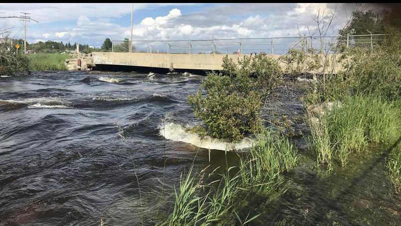
Northern Saskatchewan has received extremely high cumulative precipitation since April 1, 2020, resulting in very high flows and lake levels across the Churchill River and Lower Saskatchewan River basins.

According to the latest report from the Water Security Agency, most of the north received some showers late last week with accumulations ranging from zero at Stony Rapids to 23 mm near Creighton. Accumulations near Lac La Ronge were just 5 mm with higher accumulations in the Montreal Lake area (11-14 mm). Accumulations near Reindeer Lake were 1-11 mm with the higher accumulations near Southend.

Flows and Lake Levels:

High river and lake levels can be expected for the remainder of summer and in some cases, such as the mainstem of the Churchill River, into the fall and winter. The expected peak or observed peak throughout the system is generally slightly lower than previous historical highs. However, flows and levels in the Lower Churchill River, including Reindeer River and Churchill River near Sandy Bay, have exceed previous historical highs. Below are specific conditions at various locations as well as projected future peak levels.

Ile a la Crosse:
Present elevation: 421.05 m

Levels at Lac Ile a la Crosse are continuing to decline; however, they will remain higher than normal for the remainder of the open water season and vulnerable to additional rainfall events and wind events.

Lac La Ronge:
Current elevation: 364.91 m
Observed Peak: 364.95 m (August 10-30)

Rainfall late last week had minimal impact on the basin and the lake is continuing to show declines. A recession and freeze-up elevation similar to that observed in 2011 is expected.

Sandy Bay Present Elevation:
8.91m (1950 m3/s)
Observed peak: 10.15 m (2420 m3/s) on August 4

Water levels at Sandy Bay reached a peak on August 4 and are now down about 1.2 m. Levels are now well below the 2005 peak. With the full effect of the August 19 flow reduction at the Whitesand Dam now being observed at Sandy Bay and flows further upstream on the Churchill River fairly stable, flows and levels at Sandy Bay are expected to remain fairly stable over the next week.

Meeting Lake:

· With warm and dry conditions over the past month, levels at Meeting Lake have been dropping.

· Only 22 mm of rainfall was observed since August 1 at Spiritwood, the closest observations we have to Meeting Lake, with 8 mm of that falling over the past week. Other sites in the area have observed 25-35 mm over this period.

· Present elevation: 739.29 m – September 8, 2020

· Observed peak: 739.48 m – July 27, 2020

Jan, Amisk, and Deschambault Lakes:

· Jan Lake peaked in late July, 54 mm above 2017 levels.

· While we do not have any current information for Deschambault or Amisk lakes, with the Sturgeon Weir River at Leaf Rapids receding Deschambault Lake has likely peaked and a peak at Amisk Lake can be expected soon if it hasn’t already occured. Like Jan Lake, peaks that are slightly above 2017 levels are expected at Deschambault and Amisk lakes, unless significant, additional precipitation is observed.

panews@jpbg.ca