Click here to sign up for our free daily newsletter
There's been 14 more centimetres of snow this year compared to last year. (Derek Cornet/larongeNOW Staff)
weather update

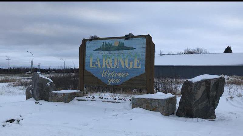
Snowfall in La Ronge remains above average, break from cold on the way

Feb 4, 2022 | 5:08 PM

The tri-communities continues to experience above-average snow fall this winter.

According to Environment and Climate Change Canada Meteorologist Terri Lang, there was 22.6 millimetres of snow in January compared to an average of 18.7 mm. Looking at November, December and January combined, there was 78.6 mm of precipitation compared to an average of 69.8 mm.

Those three months last year amounted to 63.3 millimetres.

“I also looked at the snow depth at the end of January and, so far this year, 56 centimetres compared to 42 centimetres last year,” Lang said.

Lang explained the snowpack is expected to grow as long-term modelling for February shows above-average precipitation and below-average temperatures. Tri-community residents, however, can look forward to a small break in cold temperatures on Monday.

The jet stream is slipping farther north, which will allow for warmer air to move into the area. Temperatures will begin to warm overnight Saturday and allow for a high of -8 C on Sunday. It’s forecasted to reach 4 C with sunny skies on Monday, but Lang believes that’s a bit optimistic.

“I think it is going to be around the freezing mark, so it’s going to feel fairly tropical compared to how it has been for the past couple of days there,” she said.

Lang mentioned the temperature will continue to fluctuate in February and bring more warmer days than typically seen. She said the extreme range in temperatures is an indicator of a La Niña winter.

derek.cornet@pattisonmedia.com

Twitter: @saskjourno