Sign up for the larongeNOW newsletter
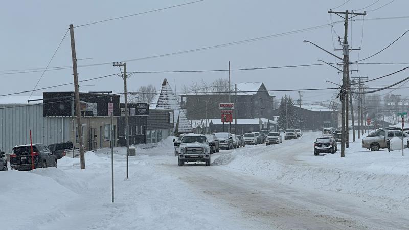
Snowfall during the weekend led to hazardous conditions in La Ronge on Monday. (Derek Cornet/larongeNOW Staff)
extreme weather

Winter in La Ronge driest on record

Mar 5, 2024 | 4:17 PM

The last three months have been the driest on record for winter statistics in La Ronge.

That’s according to data from Environment and Climate Change Canada, which considers winter months to be December, January and February. Data shows precipitation during those three months to amount to 18 millimeters, whereas 56.8 mm is the normal amount from a total of 59 years of record keeping.

The data also shows Key Lake had its driest winter months on record with Meadow Lake recording its third driest and Swift Current recording its fifth.

In addition, La Ronge, Prince Albert and Yorkton all had its second warmest winter on record. In La Ronge, the seasonal mean temperature was -11.6 C, which represents a 5.3 C departure from normal.

“As we know, there is climate change and global warming occurring at the moment as has been for a while,” said meteorologist Natalie Hasell.

“We should, generally speaking, be seeing warmer temperatures than what we have been seeing in the past at least on average. There’s still going to be variability and periods of very cold conditions as well, even in these scenarios, generally speaking, things are warmer.”

As for February by itself, La Ronge recorded its eighth warmest February out of 76 years of record keeping. The monthly mean temperature was -11.2 C, representing a 4.2 C departure from normal.

Western Canada has been under El Niño conditions since at least last fall. El Niño can be distinguished when the surface waters in the eastern tropical Pacific extending westward from Ecuador become warmer than average.

The changing pattern of the Pacific Ocean causes a shift in the atmospheric circulation, which then impacts weather patterns across much of the Earth. Historically, Canada is mostly affected by El Niño during winter and spring.

Overall, 2023 was the warmest year on record for La Ronge.

The beginning of March did bring with it some precipitation, leaving residents in La Ronge and most of Saskatchewan having to dig out for most of the day. The first four days in March had approximately 12 centimeters of snowfall in La Ronge.

“There was a large system that went through and affected many parts of Saskatchewan, although I would argue mostly south of La Ronge,” Hasell said.

“La Ronge still got some snow and it doesn’t look like the wind was particularly bad, so visibility should have been OK during most of the event, which is good news because other parts of the province seen much larger amounts of precipitation and really strong winds, leading to really poor visibility and blizzard conditions.”

As for the remainder of the week, Environment Canada is forecasting sunny skies and a return to plus temperatures. Wednesday will reach a high of -14 C, followed by Thursday at -7 C and Friday -2 C.

Saturday is expected to reach 4 C and Sunday 6 C.

derek.cornet@pattisonmedia.com

View Comments